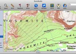
Topo maps and elevation data.
FromJames Associates:Hike, rock-climb, and camp in the Daniel Boone National Forest. Backpack, bike, and horseback in the Big South Fork Rec area. With MacTopos, enjoy Kentucky at its best! James Associates, producer of MacGPS Pro software, now offers MacTopos Kentucky for the ultimate topographic digital map solution.One DVD for Kentucky contains USGS Topo maps for the entire state in three ...
Redirecting to a secure site. We are checking If the link is working. Please wait...
You can report broken links into broken@dailydownloaded.com. Our editors will review them shortly.
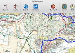
Get a GPS-enabled road and off-road maps.